***This blog post follows on from the previous post (Part 1), so if anything sounds unfamiliar, check that one out too!***
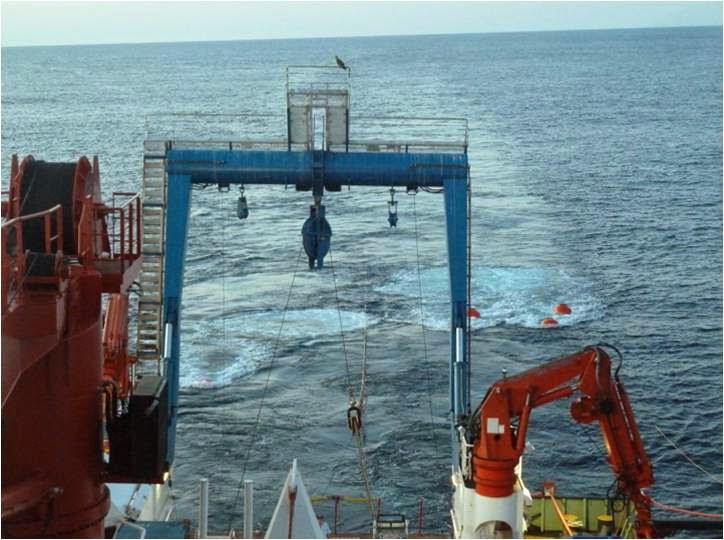
We have been using three different sources of seismic energy during the cruise, all of which our ocean-bottom seismographs (OBSs) have recorded:i) a GI-gun array to image the sediment layers and the upper part of the crystalline oceanic crust at high resolution;ii) a Bolt-airgun array to propagate signals laterally through the mid-to-lower crust; andiii) a G-gun array on the RV Sonne to generate the long distance, deep travelling signals that reach the lower crust and the mantle below.
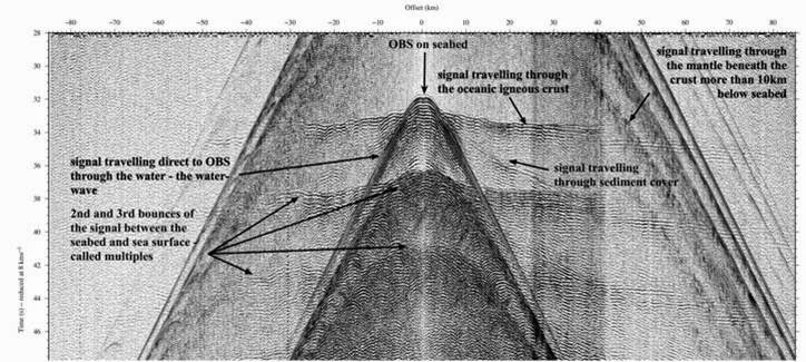
In our work area the oceanic crust is ~10 km thick so the crust-mantle boundary – or Moho as it is named after the eminent seismologist Mohorovicic – is ~13 km below the sea surface (10 km of crust plus 3 km of water). To image this boundary we need to propagate seismic signals to more than 13 km below the surface and to at least 50 km laterally to see these signals returning from depth where they have travelled through the mantle, to our instruments located on the seabed. (Have a look at the diagram in Part 1 to see how an OBS further from the source will record signals that have penetrated deeper in the Earth.)
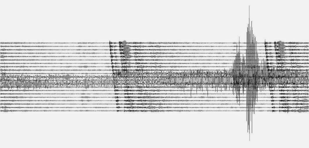
he OBSs also record earthquakes travelling through the work area, and we have recorded several of these from as close as Panama to as far away as Japan. The arrival of the magnitude 6 Panama earthquake of the 31st January is shown below superimposed on top of some of the RRS Cook’s airgun array seismic arrivals at an OBS located within the northern ridge-axis grid.
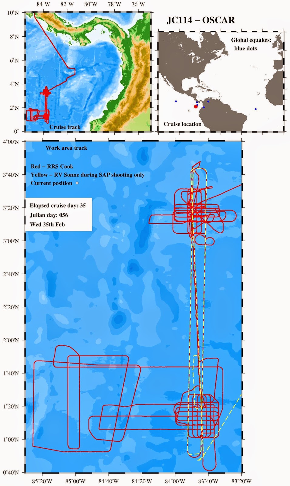
We’ve come to the end of our seismic activities now, after shooting seismic lines over the Costa Rica Rift, around borehole 504B, and also out to the west over the Ecuador Fracture Zone and Ecuador Rift spreading centre. We’re just recovering the last of our OBSs deployed in the south of our study zone, before heading off to map some interesting areas of the seafloor for a few days.